Forest Certification in Brazil: advances, innovations and challenges.
Veríssimo, A., Smeraldi, R. e Azevedo, T In: Burger, D., Hess, J. and Lang, B (Eds.).
Evaluation of yield regulation options for primary forest in Tapajós National Forest, Brazil.
Van Gardingen, Paul; Valle, D. & Thompson, I.
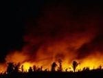
Forest fire and prediction and prevention in the Brazilian Amazon.
Nepstad, D.; Moreira, A.; Veríssimo, A.; Lefebreve, P.; Schelesinger, P.; Potter, C.; Nobre, C.; Setzer, A.; Krug,T.; Barros, A.C.; Alencar, A.; Pereira.
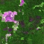
Mapping forest degradation in the Amazon region with Ikonos images.
Souza Jr., C. & Roberts, D. 2005.
Adaptation of a spatially explicit individual tree-based growth and yield model and long-term comparison between reduced-impact and conventional logging in eastern Amazonia, Brazil.
Valle, D., Phillips, Vidal, E., Schulze, M., Grogan, J., Sales, M., & Vangardingen, P. 2007. Adaptation of a spatially explicit individual tree-based growth and yield model and long-term comparison between reduced-impact and conventional logging in eastern Amazonia, Brazil. Forest Ecology and Management, 243(2-3), 187-198.
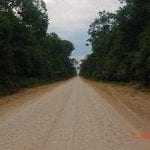
Mapping unofficial roads with Landsat imagens: a new tool to improve the monitoring of the Brazilian Amazon rainforest.
Brandão Jr., A., Souza Jr., C.. 2006.
Mapping land use of tropical regions from space.
Título Mapping land use of tropical regions from space. Autores Carlos Souza Jr. Carlos M. Ano de publicação 2006 DOI https://doi.org/10.1073/pnas.0606804103 Souza Jr., C. 2006. Mapping land use of tropical regions from space. Proceedings of the National Academy of Science 103 (39): 1461-1462. Resume This is a commentary on Morton et al article “Cropland expansion changes

