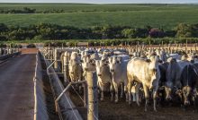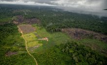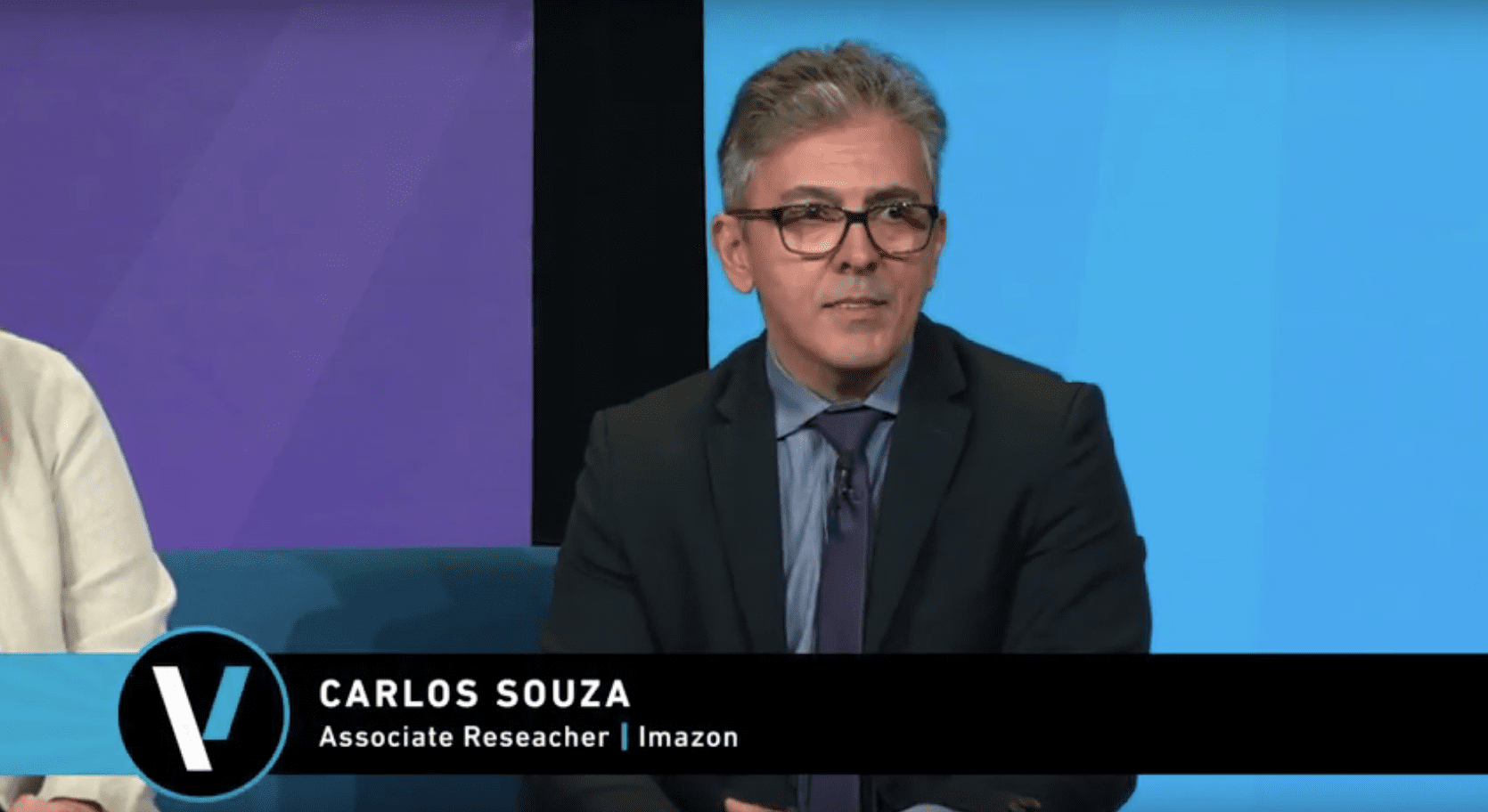


On a panel moderated by Tara O’Shea (Planet), Rebecca Moore (Google) and Carlos Souza, Imazon’s researcher, converse about NextGenMap’s ability to revolutionize our abilities to monitor forests. Historically, monitoring forests and land-use change has involved a compromise between the resolution and frequency of available satellite images and limited computing capacity for analysis. Recent developments in satellite imagery, machine learning and land use classification offer new opportunities to disrupt these limitations. NexGenMap is an R&D effort to leverage these developments to monitor forests and land use to sustain our world’s most important terrestrial carbon sinks.
Watch:
Originally published at GreenBiz.
This post was published on 7 de November de 2019
States with the most deforestation in January were Mato Grosso, Roraima and Pará Deforestation…
According to the Green Radar report, in 2024, out of the 146 companies assessed, 6…
A survey of more than 3,500 lawsuits showed an increase in punishments, while payment of…
A group made up of specialists from 23 different professions trained in the Sustainable Amazon…
The degraded area increased due to burning, especially in August and September In 2024,…
The program is scheduled to last 15 years and will include local indigenous peoples and…