


What is SAD?
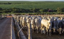
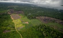
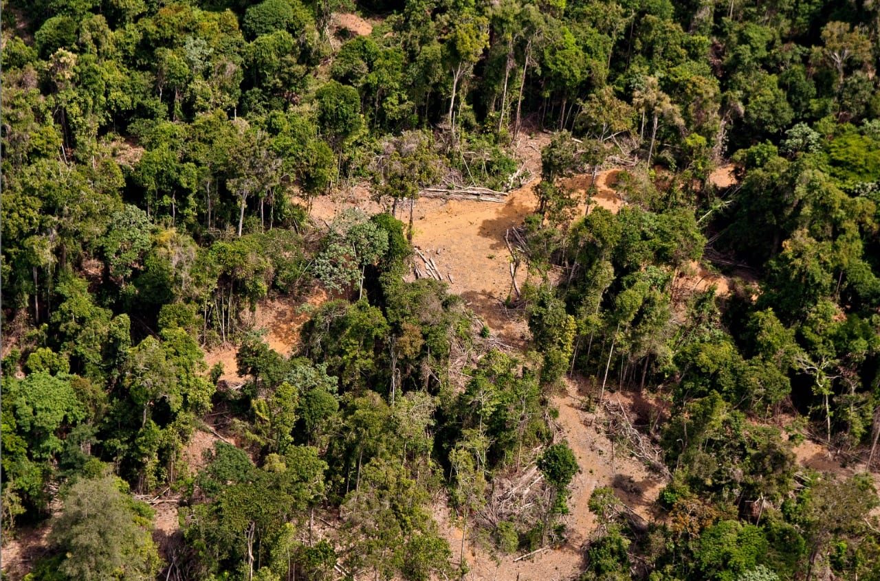
The Deforestation Alert System is a tool for monitoring the Amazon based on satellite images, developed by Imazon in 2008, to provide monthly reports on the rate of deforestation and forest degradation in the region. Deforestation consists of total conversion of the soil for another land cover and use, while degradation is a partial disturbance in the forest caused by timber extraction and/or forest burning.
What satellites are used by SAD?
SAD currently uses Landsat 7 (sensor ETM+), Landsat 8 (OLI), Sentinel 1A and 1B and Sentinel 2A and 2b (MSI) satellites. By combining those satellites, it is possible to view the same area every 5 to 8 days. SAD prioritizes processing of images acquired on the last day of the month to detect and map the monthly deforestation alerts. Those satellites allow detection of deforestation events with 20 to 30-meter detail. Sentinel 1 also allows monitoring despite clouds, by using radar images. That allows the capacity for monitoring during the rainy season, when deforestation diminishes in the region. SAD detects areas of deforestation as small as 1 hectare.
Is it possible to compare the SAD and DETER systems?
The two systems generate monthly deforestation and forest degradation alerts, although the methodologies are different.
Does SAD monitor deforestation in secondary forests?
No, SAD detects and reports deforestation in primary forests.
Does SAD differentiate between legal and illegal deforestation?
No. To do that, the alert detections must be combined with deforestation authorizations issued by federal, state and municipal agencies. The authorizations issued by state agencies are not in data systems that can be crossed with satellite images in time to do monthly monitoring. However, Mapbiomas Alert is already doing this type of crossing of databases (http://alerta.mapbiomas.org/lancamento-1) to estimate the proportion of illegality in.
View the July 2019 SAD bulletin here.
—
Imazon – Imazon is a Brazilian not-for-profit research institute, made up of Brazilian researchers, founded in Belém 29 years ago. Using its sophisticated Deforestation Alert System (SAD), for more than ten years the organization has been doing the work of monitoring and disseminating data on deforestation and degradation in the Brazilian Amazon, providing independent and transparent monthly alerts in order to inform changes in behavior that can lead to significant reductions in destruction of forests, in favor of sustainable development.
Learn more about Imazon here.
This post was published on 3 de September de 2019
States with the most deforestation in January were Mato Grosso, Roraima and Pará Deforestation…
According to the Green Radar report, in 2024, out of the 146 companies assessed, 6…
A survey of more than 3,500 lawsuits showed an increase in punishments, while payment of…
A group made up of specialists from 23 different professions trained in the Sustainable Amazon…
The degraded area increased due to burning, especially in August and September In 2024,…
The program is scheduled to last 15 years and will include local indigenous peoples and…