Nascimento, Eric de Souza; Silva, Sonaira Souza da; Bordignon, Leandra; Melo, Antonio Willian Flores de; Brandão Jr., Amintas; Souza Jr., Carlos M.; Silva Junior, Celso H. L. Roads in the Southwestern Amazon, State of Acre, between 2007 and 2019. MDPI, 23 January 2021. https://doi.org/10.3390/land10020106
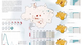
Abstract: Over the past 40 years, roads have been the main driver behind the State of Acre’s occupation and development. However, the expansion of roads, has often been associated with the advance of deforestation, habitat fragmentation, and social conflicts. There are no up-to-date data available on the current extent of Acre’s road network nor its environmental and socioenvironmental impacts. In this study, we updated the State of Acre’s road network map for the period 2007 to 2019 through the visual interpretation of 153 Landsat images (5, 7, and 8) at a scale of 1:50,000. To estimate the impact of roads, we measured the distribution of roads in municipalities and in different land tenure categories and calculated the correlation between roads and annual deforestation. Up to 2019, we estimated 19,620 km of roads, of which 92% were unofficial roads, 6% federal roads, and 2% state roads. The roads increased at an average annual rate of 590 km year−1. The most significant advance in road length between 2007 and 2019 was in protected areas (240%), followed by public lands (68%) and settlement projects (66%). We recommend monitoring of the road network to understand the landscape’s evolution and support actions against illicit environmental and socioenvironmental impacts.
This post was published on 23 de janeiro de 2021
Amorim, L., Ferreira, R., Dias, M., Souza Jr., C., & Veríssimo, A. Sistema de Alerta…

Título Índice de Progresso Social Brasil 2025 Autores Melissa Wilm Daniel Santos Beto Veríssimo Marcelo…
Amorim, L., Ferreira, R., Dias, M., Souza Jr., C., & Veríssimo, A. Sistema de Alerta…
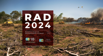
Título Relatório Anual do Desmatamento no Brasil - RAD2024 Autores Carolina Del Lama Julia Shimbo…

Título Fatos da Amazônia 2025 Autores Daniel Santos Manuele Lima Agatha Vilhena Beto Veríssimo Caíque…
Amorim, L., Ferreira, R., Dias, M., Souza Jr., C., & Veríssimo, A. Sistema de Alerta…