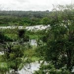
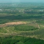
A floresta habitada: história da ocupação humana na Amazônia (2ª edição)
Veríssimo, T., Pereira, J., Veríssimo, A., Malcher, L. & Porto, B. A floresta habitada: história da ocupação humana na Amazônia. Belém: Imazon, 2020.
Veríssimo, T., Pereira, J., Veríssimo, A., Malcher, L. & Porto, B. A floresta habitada: história da ocupação humana na Amazônia. Belém: Imazon, 2020.
Santos, D., Moura, S., Pereira, J., Veríssimo, A. Norte do Pará: situação atual e perspectivas para o desenvolvimento sustentável. Belém: Imazon. 2020.
Moura, S., Pereira, J., Coutinho, M., Silva, E., Almeida, M., Mesquita, J. Programa Agentes Ambientais Comunitários – Guia de Implementação. Belém: Imazon, 2020.
Souza Jr., C.; Zanin Shimbo, J.; Rosa, M.,; Parente, L.; Alencar, A.; Rudorff, B.; Hasenack, H.; Matsumoto, M.; Ferreira, L.; Souza-Filho, P.; Oliveira, S.; Rocha, W.; Fonseca, A.; Balzani, C.; Diniz, C.; Costa, D.; Monteiro, D.; Rosa, E.; Vélez-Martin, E.; Azevedo, T. 2020/08/25. Reconstructing Three Decades of Land Use and Land Cover Changes in Brazilian
Salomão, R., Gomes, I., Pinto, A., Amaral, P., Cunha, C. & Figueiredo, L. 2020. Situação territorial, desmatamento e focos de calor em 60 municípios da Amazônia Legal (p. 260). Belém: Imazon.
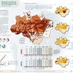
Fonseca, A., Cardoso, D., Ribeiro, J., Ferreira, R., Kirchhoff, F., Amorim, L., Monteiro, A., Santos, B., Ferreira, B.,Souza Jr., C., & Veríssimo, A. 2020. Boletim do desmatamento da Amazônia Legal (julho 2020) SAD (p. 1). Belém: Imazon.
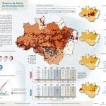
Fonseca, A., Cardoso, D., Ribeiro, J., Ferreira, R., Kirchhoff, F., Amorim, L., Monteiro, A., Santos, B., Ferreira, B., Pontes, M., Souza Jr., C., & Veríssimo, A. 2020. Boletim do desmatamento da Amazônia Legal (junho 2020) SAD (p. 1). Belém: Imazon.
Fonseca, A., Alves, A,, Ribeiro, J., & Souza Jr., C. 2020. Ameaça e Pressão e Desmatamento em Áreas Protegidas: SAD de Fevereiro de 2020 a Abril de 2020 (p. 2). Belém: Imazon. Áreas Protegidas (APs) representam um patrimônio nacional, e considerando a extensão das APs na Amazônia Legal (i.e., 46%), os seus benefícios para manutenção
Fonseca, A., Cardoso, D., Ribeiro, J., Ferreira, R., Kirchhoff, F., Amorim, L., Monteiro, A., Santos, B., Ferreira, B., Pontes, M., Souza Jr., C., & Veríssimo, A. 2020. Boletim do desmatamento da Amazônia Legal (maio 2020) SAD (p. 1). Belém: Imazon.
Brito, B. 2020. Nota técnica sobre o Projeto de Lei n.º 2.633/2020. Belém: Imazon.
APÓS DIGITAR O TEXTO, PRESSIONE ENTER PARA COMEÇAR A PESQUISAR

